Reservoirs of Petit |
Route the |
Reservoirs of Petit |
Route the |
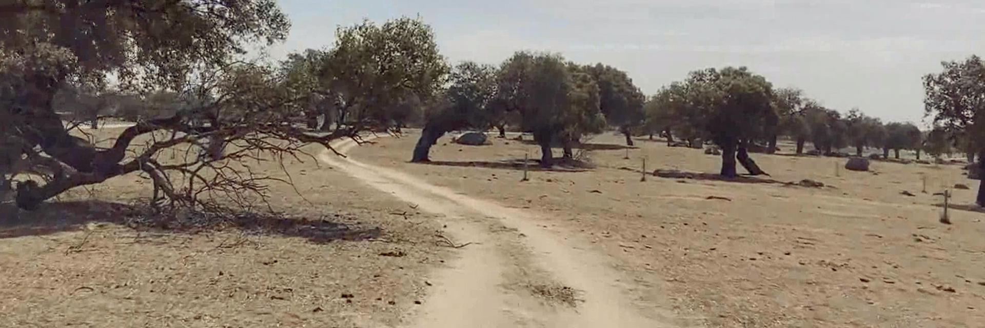
We start the tour at the local Civil Guard barracks. Here we will take the avenue that runs parallel to the «La Rachona» pond of the Pontones River, this quickly becomes a dirt track. at 750m From the beginning, we will continue along the main track that will take us into the pasture of Corral Nuevo.
in the km. At 2.6 we will leave the track and take a path to the right that runs between a stone fence (right) and another wire fence. Gradually we will enter Los Llanos de Cáceres, from where it is easy for us to see the buildings of the Arroyo-Malpartida railway station. 4.65 km. we find another gate, from this the path is less marked, we will walk next to the wire fence on the left. Through a bridge, the footbridges, or along the same riverbed, are the existing alternatives to cross the Casillas River. Once past this, we will continue through a small tunnel that crosses an old railway line. On the right, we leave the Cortijo del Lavadero de San Miguel and continue on our way.
Once we come across a train track (in use), without crossing it, we continue along the path parallel to it. At 5.95 km. From the beginning, we see the Cortijo de la Huerta de la Charca, crossing a stone bridge we access the wall of the Charca del Lancho, where we can see an old flour mill.
Another possibility to approach the pond is to follow the previous path without crossing the bridge, so we will be on one side of the pond, which we access through a small passage in the wire fence (6.4 km.). This space has been declared a Site of Community Importance (U.E.) of the Natura 2000 Network, and stands out for its birdlife: black storks, spoonbills or grebes.
We begin our return along the same path parallel to the railway, in this area the large number of existing white storks is surprising. At the intersection of the aforementioned road, we cross it to head towards the Arroyo-Malpartida station. in the km. 7.8 we will reach this district of Cáceres.
After passing the station, we continue along the road until we are below the highway overpass, at this point we leave the road for a path to cross the overpass next to the railway (km. 9.65 from the beginning). To the right we first take an old road, and then a path, this is the Malpartida-Brozas livestock route. A few meters away, we will cross the Casillas River over an old bridge and we will enter the Corral Nuevo dehesa again until we reach our starting point in Arroyo de la Luz.